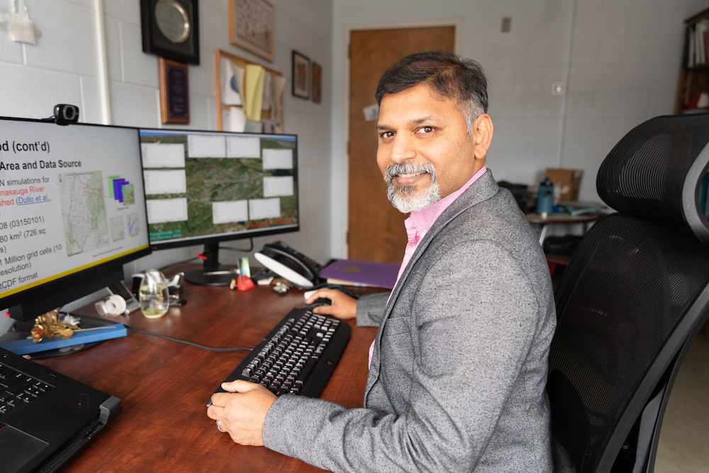
COOKEVILLE – Tennessee Tech University professors and a handful of their students are taking technology from video games and applying it to technology designed to predict floods, and in turn save lives. A partnership with Oak Ridge National Laboratory has enabled them to produce the program, which is called the Two-dimensional Runoff Inundation Toolkit for Operational Needs – or TRITON.
“This flood model is the advanced version of the flood model from my Ph.D. project,” said Alfred Kalyanapu, associate professor of civil and environmental engineering. “But during my master’s, I realized that most of the computer software that was available to run floods, hydrology, etc. was very slow. You really need a large computer to even make it worth your while.”
While working at an internship, Kalyanapu was introduced to the idea of using graphics cards, which are added to computers in order to improve graphics and speed for things like video games. It was just being realized that the graphics cards could also be used for scientific applications. He decided to use this idea in his Ph.D. project to enhance his fledgling flooding model.
“We developed a model and published that paper which essentially uses a single graphics card, and that just using one graphics card made our models so much faster. If you were to compare, he would say it’s about 80 to 100 times faster,” Kalyanapu said.
When he came to Tech as an associate professor, he started talking to colleague Sheikh Ghafoor, professor of computer science, who suggested adding more graphics cards to improve the flood model. Once they made the connection with Oak Ridge National Laboratory at a research conference who allowed them access to their technology and helped with funding, the upgraded flooding model, now called TRITON, was finally born.
In addition to Kalyanapu and Ghafoor, Tech Ph.D. students Tigstu Dullo (civil and environmental engineering), Ryan Marshal (computer science), Md. Bulbul Sharif (computer science) and master’s student George Darkwah (civil and environmental engineering) also worked on Triton. All have since graduated.
The program is open and free for public use at https://triton.ornl.gov. A user can input information which TRITON will then display possible flood outcomes, depending on an area’s topography and the amount of incoming water due to a rainfall-drive flood, flash flood or a dam breakage.
“We’re trying to develop the model for the entire conterminous United States so that in future if you have a forecasted flood, we can quickly go identify that area, download the data and run the model relatively,” Kalyanapu said.
Next, they are working on using machine learning and artificial intelligence techniques on creating a simplified version of the program where a user could run a simulation to see if their data indicates possible flooding. If not, then the user would be saved the trouble of using the more complicated full model that needs a powerful computer to run. If significant flooding is indicated in this simplified program, then the user could next go to the full TRITON model to get a more detailed look at what they could expect from the flooding event.
“Once we have that available, we’ll put that on TRITON website as well,” said Kalyanapu. “We are hoping that as the word gets out about TRITON that we’ll have more users will be interested in applying it for their own locations.”


